Category: Baraga County
-
North Country Trail – Baraga/Herman
Read more: North Country Trail – Baraga/HermanAddress: Ottawa National Forest Michigamme Township, MI 49814 Countie(s) trail is located in: Baraga Trail Type(s): Cross Country Skiing <> Hiking <> Horseback/Equestrian <> Mountain Biking <> Road Biking <> Snowshoe Trail Measurement: 4,600 Miles The North Country National Scenic Trail (NCT) stretches approximately 4,600 miles (7,400 km) from Crown Point in eastern New York…
-
North Country Trail – McCormick
Read more: North Country Trail – McCormickAddress: Countie(s) trail is located in: Baraga Trail Type(s): Hiking Trail Measurement: The North Country National Scenic Trail (NCT) stretches approximately 4,600 miles (7,400 km) from Crown Point in eastern New York to Lake Sakakawea State Park in central North Dakota in the United States. Passing through the seven states of New York, Pennsylvania, Ohio,…
-
North Country Trail – Ontonagon/Kenton
Read more: North Country Trail – Ontonagon/KentonAddress: Countie(s) trail is located in: Baraga Trail Type(s): Hiking Trail Measurement: The North Country National Scenic Trail (NCT) stretches approximately 4,600 miles (7,400 km) from Crown Point in eastern New York to Lake Sakakawea State Park in central North Dakota in the United States. Passing through the seven states of New York, Pennsylvania, Ohio,…
-
Net River
Read more: Net RiverAddress: Net River Hematite, MI Countie(s) trail is located in: Baraga <> Iron Trail Type(s): Fishing <> Canoe/Kayak Trail Measurement: 14.9 Miles The Net River is a 14.9-mile-long (24.0 km) river in Michigan in the United States. Its headwaters rise in Baraga County and flow southwest into Iron County, where the main stem forms and flows…
-
Huron River (East Branch)
Read more: Huron River (East Branch)Address: Huron River Michigan Countie(s) trail is located in: Baraga Trail Type(s): Canoe/Kayak Trail Measurement: 7.6 Miles If you are at the trail and this trail needs the latitude and longitude please click the link below and add it to the Add/Edit Trail Form to give us the information. Click to view your current location…
-
Craig Lake River Trail
Read more: Craig Lake River TrailAddress: Countie(s) trail is located in: Baraga Trail Type(s): Canoe/Kayak Trail Measurement: How about a trip that takes you on a quiet lake where you can set up a camp and just do some fishing and wildlife watching. Craig Lake State Park in Michigan’s Upper Peninsula is just such a place. Secluded, Pristine, Beautiful, Quiet…
-
Covington Ski Hill
Read more: Covington Ski HillAddress: Countie(s) trail is located in: Baraga Trail Type(s): Downhill Skiing Trail Measurement: References and More Info
-
Craig Lake Main Trail
Read more: Craig Lake Main TrailAddress: Craig Lake State Park 851 County Road Ake Champion, MI 49841 Countie(s) trail is located in: Baraga Trail Type(s): Cross Country Skiing <> Hiking Trail Measurement: 8 Miles Trail Distance: Trail Length in Miles: 8 (Miles) Features: Hiking: Loop around Craig Lake provides plenty of scenery and challenge. Cross Country Ski: Trails are not…
-
Craig Lake North Country Trail
Read more: Craig Lake North Country TrailAddress: Craig Lake State Park 851 County Road Ake Champion, MI 49841 United States Countie(s) trail is located in: Baraga Trail Type(s): Cross Country Skiing <> Hiking Trail Measurement: 7.5 Miles Trail Distance:Trail Length in Miles: 7.5 (Miles)Features:Hiking: A portion of the North Country Trail provides rugged terrain.Cross Country Ski: Trails are not groomed.Craig Lake…
-
Canyon Falls Roadside Park
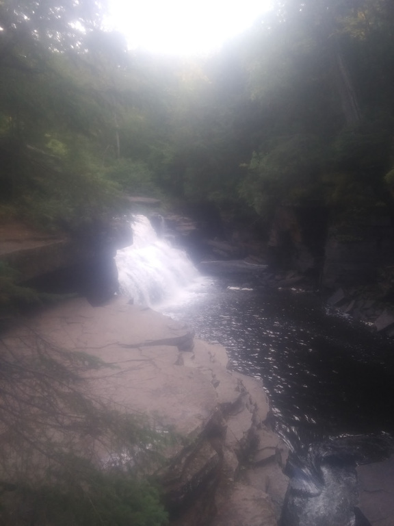 Read more: Canyon Falls Roadside Park
Address: Canyon Falls Trail Highway 41 Covington, MI 49919 Countie(s) trail is located in: Baraga Trail Type(s): Hiking Trail Measurement: This small park located fourteen miles south of Baraga offers a boardwalk through a cedar swamp and a great view of the scenic Canyon Falls on the Sturgeon River. For a closer look at the…