Tag: Trail Type: Hiking
-
Point Abbaye Natural Area
 Read more: Point Abbaye Natural Area
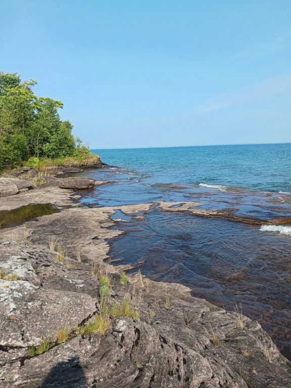
Point Abbaye is a rugged, remote peninsula in Michigan’s Upper Peninsula that juts out into Lake Superior, separating the Keweenaw Bay from the Huron Bay. As a scenic county park and protected natural area, it offers dramatic, panoramic views of the open lake, the Huron Islands, and the distant Keweenaw Peninsula. The landscape is defined…
-
Peninsula Point Hiking Trail
 Read more: Peninsula Point Hiking Trail
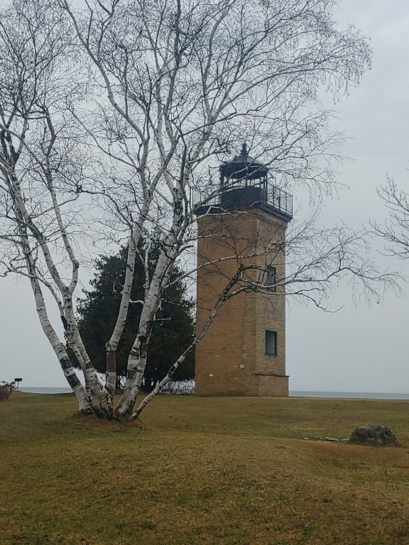
When you are on this hiking trail, you get to see the old lighthouse, fantastic views of the lake, incredible sunsets, and get a chance to find fossils just off the path. The Peninsula Point Interpretive Trail is an easy, roughly 1.5- to 1.8-mile loop located at the southern tip of the Stonington Peninsula within…
-
Deer Marsh Trail
 Read more: Deer Marsh Trail
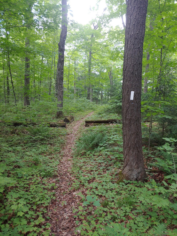
Address: 46°24’13.5″N 88°43’22.5″W Ottawa National Forest (Kenton Ranger District) Countie(s) trail is located in: Iron Trail Type(s): Hiking Trail Measurement: Roughly 3 miles (5.0 km) loopTrail Difficulty: Easy to intermediate (or medium), featuring rolling, sandy terrain with a small degree of difficulty. About half a mile of the path has added gravel.Ecosystem & Scenery: Takes…
-
Anderson Lake Pathway
 Read more: Anderson Lake Pathway
The Anderson Lake Pathway is a 6-mile non-motorized trail system located about 5 miles southwest of Gwinn, Michigan. Managed as part of the state forest, the pathway features three interconnected loops ranging from 2.5 to 4.3 miles that wind through rolling terrain, dense hardwood, and conifer forests. The trail starts at the Anderson Lake West…
-
Agate Falls Scenic Site
 Read more: Agate Falls Scenic Site
Agate Falls Scenic Site is a popular 40-foot waterfall along the middle branch of the Ontonagon River in Ontonagon County, Michigan. Note that the site is temporarily closed for essential trestle bridge repairs through November 1, 2026. When open, it features a half-mile trail, a viewing platform, and an adjacent roadside park. You can see…
-
Lake Superior Trail
 Read more: Lake Superior Trail
The Story of the Lake Superior Trail Imagine yourself stepping onto the rugged and remote Lake Superior Trail, a hidden gem in the Porcupine Mountains Wilderness State Park. Starting near White Pine, Michigan, this 17.1-mile out-and-back trail promises an adventure like no other. Known as the most challenging trail in the park, it beckons backpackers,…
-
Escarpment Trail
 Read more: Escarpment Trail
Address: N 46° 48′ 9.36″ W 089° 45′ 57.24″Countie(s) trail is located in: GogebicTrail Type(s): Hiking <> Cross Country SkiingTrail Measurement: 8.4 Miles The Story of the Escarpment Trail In the heart of the Porcupine Mountains, nestled in Michigan’s Upper Peninsula, lies a trail that many consider the crowning jewel of the Midwest—the Escarpment Trail. This…
-
White Pine Interpretive Trail
Read more: White Pine Interpretive TrailAddress: Pictured Rocks National Lakeshore Grand Marais, MI 49839 United StatesCountie(s) trail is located in: AlgerTrail Type(s): HikingTrail Measurement: 0.8 Miles Located in the Hiawatha National Forest, the White Pine Interpretive Trail is a must-visit destination for nature lovers. The trail is a short and easy loop that takes visitors through a majestic forest of…
-
West Huginnin Cove Trail
Read more: West Huginnin Cove TrailAddress: 47.9187794,-89.1750868Countie(s) trail is located in: KeweenawTrail Type(s): HikingTrail Measurement: 2 Miles If you’re looking for a peaceful hike through Michigan’s Upper Peninsula, the West Huginnin Cove Trail is a must-visit destination. This trail, located in Keweenaw County, winds through lush forests, along the rocky shoreline of Lake Superior, and offers stunning views of the…